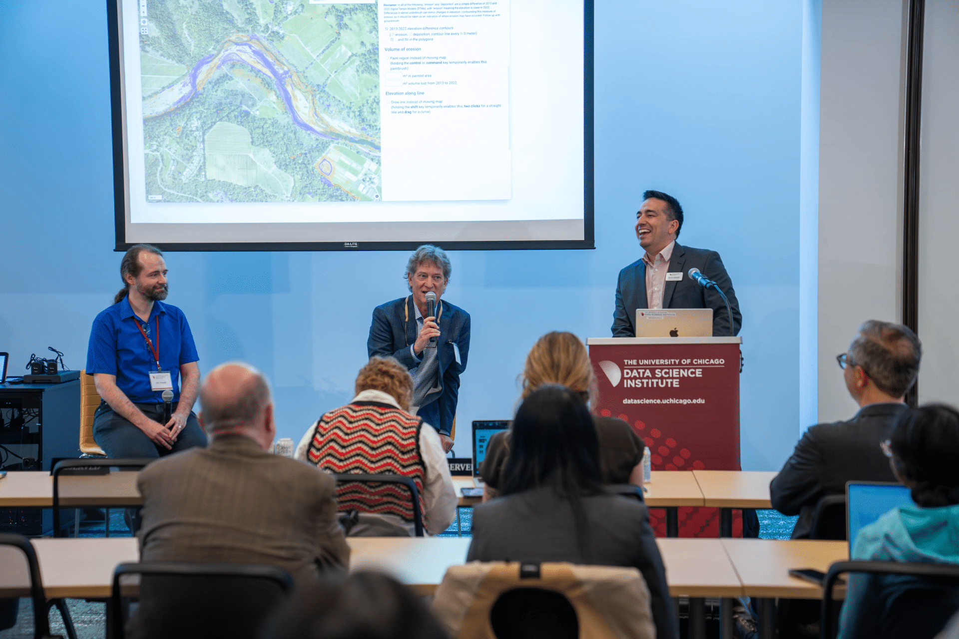
Brock Dolman shares about OAEC’s Fuels to Flows Campaign and the development of the Found Gully Model in collaboration with Data Sciences Institute Software Engineer, Jim Pivarsky (left). Photo Credit: Benjamin Stemen/University of Chicago Data Science Institute.
This spring, Brock Dolman, Wildlands Program Director, presented our new Found Gully Model at an event celebrating five years of community-centered collaborations between the University of Chicago’s Data Science Institute (DSI) and 11th Hour Project grantees, including OAEC.
The event highlighted Brock’s recent collaboration with Jim Pivarski, Staff Data Engineer from DSI. Together, the duo created the Found Gully Model—a new interactive map that uses data from LiDAR, a remote-sensing technology, to generate models of degraded upland gullies and neighboring overstocked forests and ladder fuels in Sonoma County, California.
This gully modeling work is part of our Fuels to Flows Campaign—which we recently launched to share the results of our 35-year effort to implement, demonstrate, and educate communities about our holistic approach. With our Fuels to Flows methodologies, we reduce the risk of catastrophic wildfire by reusing onsite biomass generated from fuels treatments to rehydrate the uplands and restore water, carbon, and life cycles.
The Found Gully Model pilot has initially been run for Sonoma County and is a first step towards facilitating replicable restoration implementation, planning, permitting, and funding for this work in other counties and at larger watershed scales across the state.

Watch the video of Brock and Jim’s presentation about the Found Gully Model. Video courtesy of the University of Chicago’s Data Science Institute.
“If we’re going to scale this, we need to think like a watershed. In California, we have 35 million acres of fire-suppressed forest to treat, along with ongoing needs for stewardship of water quality and quantity, salmonid restoration, carbon sequestration, and workforce development,” shared Brock during the presentation.
It’s this holistic vantage that led Brock and the Wildlands team to develop, over the past 30 years, a low-tech process-based restoration methodology called gully stuffing. Stuffing gullies with trees, branches, and other woody materials generated from fuel load reduction practices in nearby forests adds productive complexity that simultaneously curbs erosion and filters sediment to improve water quality; slows and stores water to increase water quantity; and sequesters carbon by incorporating excess woody materials into in-stream structures that behave like carbon-sinking compost piles instead of carbon-emitting burn piles.
It seems easy enough, but finding gullies across California’s millions of acres of dense, overstocked forests can feel like finding a needle in a haystack. Whether conducted on foot or by aerial survey, the search for California’s obscured gullies has been a significant barrier to scalability.
During the event in Chicago, Jim mentioned that to stuff gullies, first you have to find them, reiterating the challenge he and Brock faced.
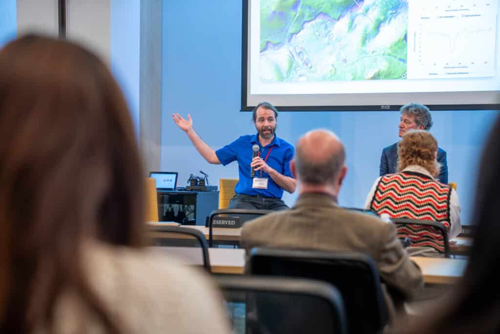
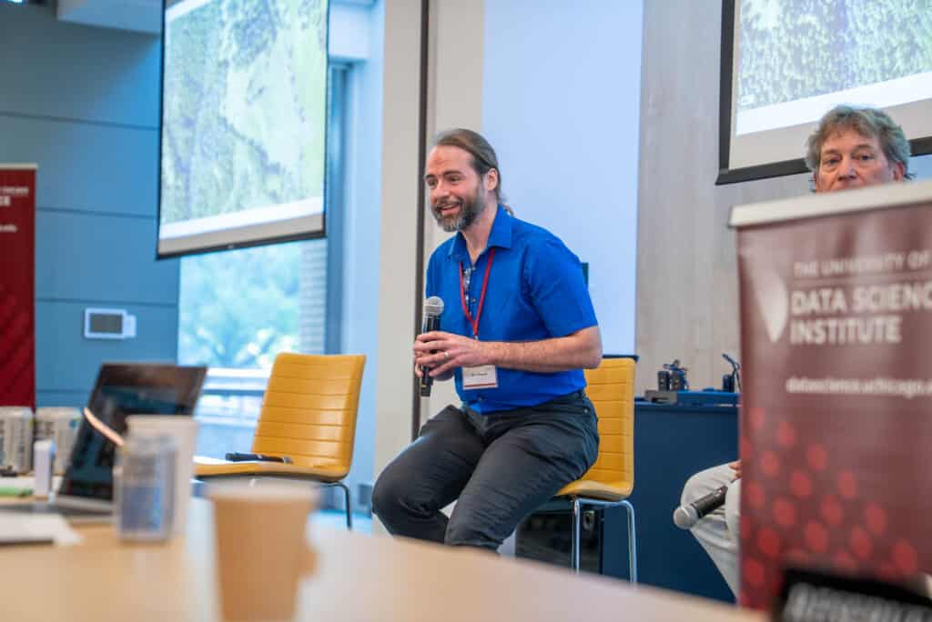
Jim Pivarsky presenting about how he brought algorithms and datasets together to create the Found Gully Model. Photo Credits: Benjamin Stemen/University of Chicago Data Science Institute.
The duo first looked to the Lost Meadows Model as a relevant precedent that similarly uses LiDAR datasets to locate the historic footprint of California’s mountain meadows—also hard to identify in their current state due to forest encroachment, hydrologic change, and intense human modification.
With this precedent and research goals in mind, Brock and Jim saw they could use bare-earth elevation maps derived from LiDAR scans to see the gullies for the trees. Each scan was originally produced by SonomaVegMap project by shining pulsed laser light through dense forest canopy, making it possible to measure distance and subsequently model the shape of the ground beneath the trees, despite visibility barriers.
Sonoma County is unique in having two available datasets from both 2013 and 2022. These two snapshots in time enabled the team to develop the model to search for erosion or deposition changes over a significant nine-year period, thus encouraging users to identify the gullies most in need of restoration given their rate of change.
By the end of their collaboration, Jim had combined image-recognition algorithms, LiDAR data, aerial imagery, and spatial methods to transform layered data into an accessible web-based map that anyone can use to see gullies and fuels overlaid in one place.
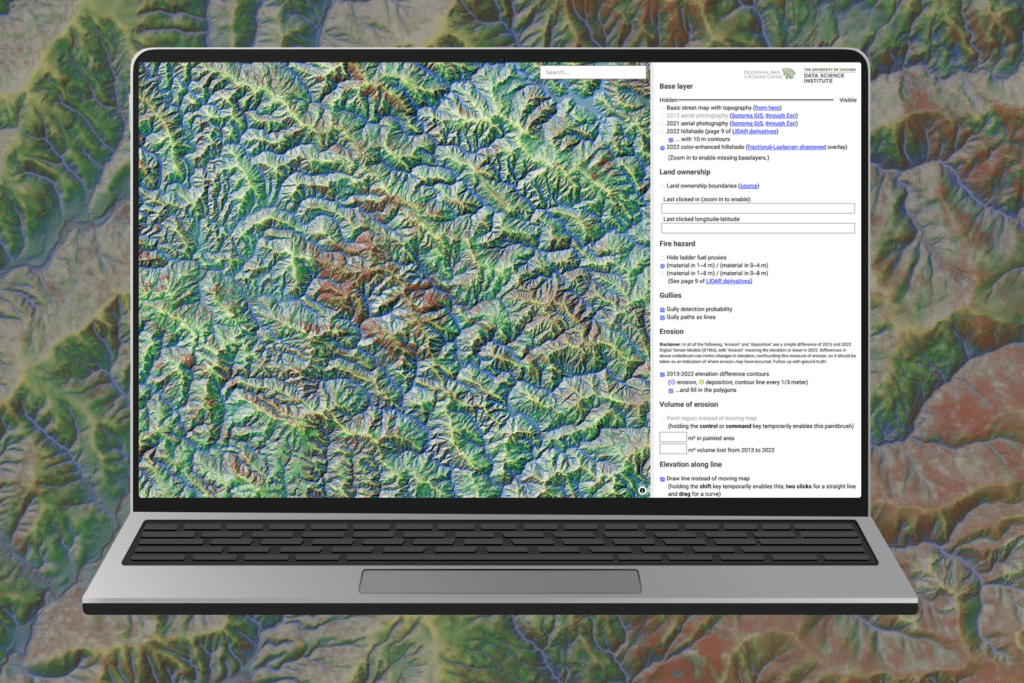
Curious about locating gullies in Sonoma County or ready to advance process-based restoration solutions at the nexus of fire and water.
Check out the Found Gully Model!
Brock noted that the Found Gully Model will serve as the first-of-its-kind desktop tool for agency teams working on permitting, restoration practitioners implementing gully stuffing techniques according to best management practices, and independent landowners who want to identify gullies of concern on their land.
Our campaign and this tool simultaneously engage people from a broad and cross-disciplinary array. An approach that’s none too soon, as we consider how integrated efforts can help us achieve statewide climate goals.
Notably, Brock shared that since this model can help us estimate the volume of fill in any given gully, we can actually use this to estimate how many tons of carbon we are keeping onsite and preventing from being lost to the atmosphere through burning—useful quantifications for practitioners, nonprofits, and agencies pursuing restoration funding through statewide allocations for climate solutions.


Brock in Chicago celebrating five years of community-centered collaborations between the University of Chicago’s Data Science Institute (DSI) and 11th Hour Project grantees, including OAEC. Photo Credits: Benjamin Stemen/University of Chicago Data Science Institute (left) & Brock Dolman/OAEC (right).
During the development of the model, other surprising cross-disciplinary connections emerged. As Jim worked with another team to study the response to chemotherapy in breast cancer patients, he encountered the challenge of identifying blood vessels in MRI images.
Jim lit up when he realized that the same algorithm he used to find the networked stream channels veining through Sonoma County could also help him locate blood vessels in the human body.
Today, this new model for cancer research is based on the very same algorithm that identifies gullies hidden by dense forest cover—an unexpected and rich connection that mitigates both breast cancer and catastrophic wildfire risk alike.
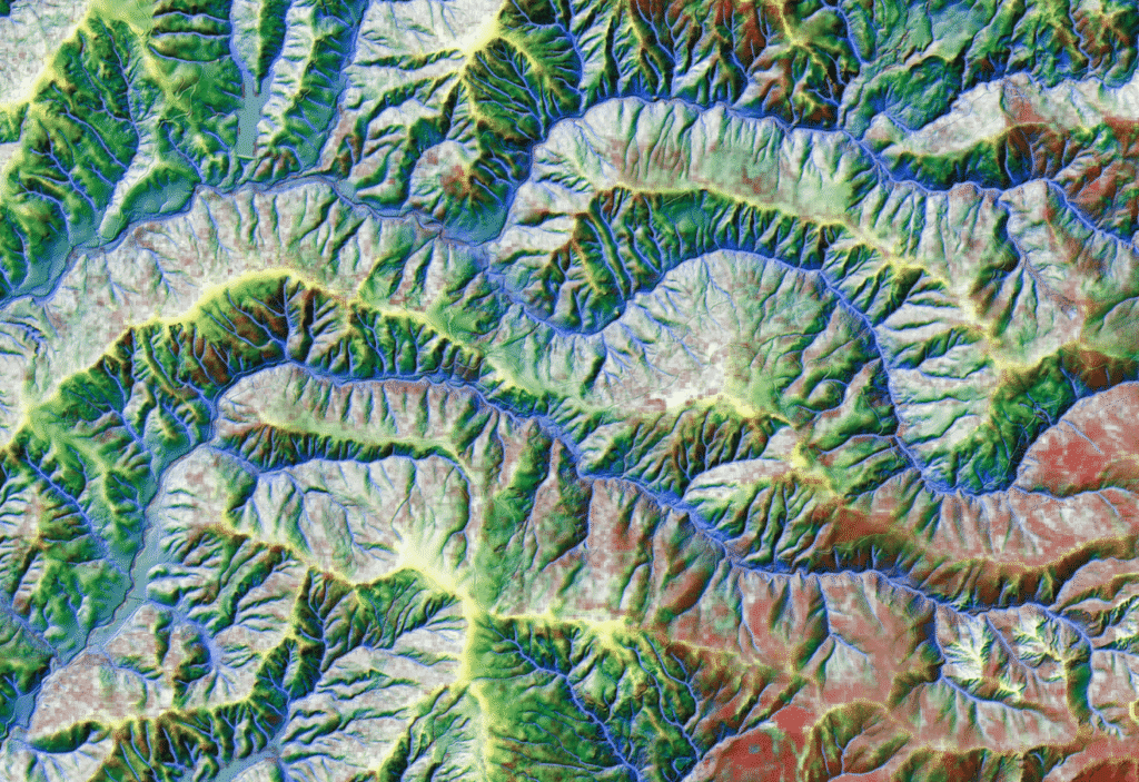
A close up of gullies (blue) and nearby ladder fuels (red) in Sonoma County as modeled through OAEC’s new Found Gully Model, created in partnership with Jim Pivarski, Staff Data Engineer from the University of Chicago’s Data Science Institute.
As we continue advancing our Fuels to Flows campaign, we are honored by cross-disciplinary partnerships such as with the 11th Hour Project and the University of Chicago’s Data Science Institute. We look forward to expanding the reach of our campaign and to continue weaving a web of collaborators together on behalf of the flows of water, fire, carbon, and life.


