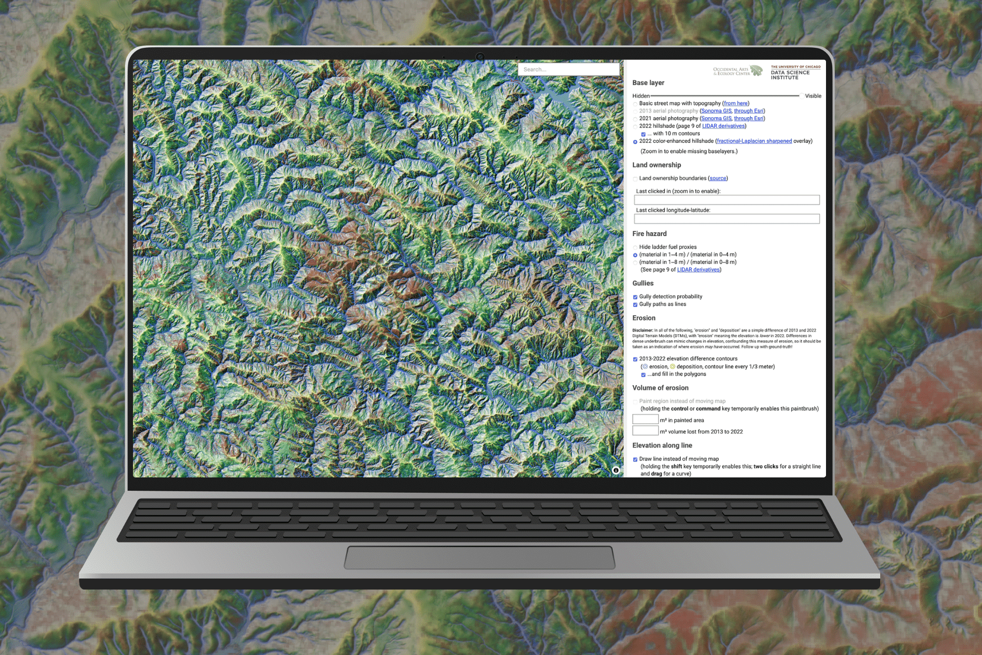
The Found Gully Model Pilot is a new interactive map for Sonoma County that uses data from LiDAR, a remote-sensing technology, to co-locate eroded upland gullies with adjacent forests whose overstocked trees and ladder fuels could be used to restore channel incision through gully stuffing. The Model was collaboratively produced by Jim Pivarski, Staff Data Engineer from the University of Chicago’s Data Science Institute (DSI) and OAEC’s Brock Dolman through a community-centered data science partnership between the DSI and the 11th Hour Project grantees such as OAEC.
The Found Gully Model: Pilot for Sonoma County
This gully modeling work is part of our Fuels to Flows Campaign—which we recently launched to share the results of our 35-year effort to implement and demonstrate our holistic approach. With our Fuels to Flows methodologies, we reduce the risk of catastrophic wildfire by reusing onsite biomass generated from fuels treatments to rehydrate the uplands and restore water, carbon, and life cycles.
The Found Gully Model pilot has initially been run for Sonoma County and is a first step towards facilitating replicable restoration implementation, planning, permitting, and funding for this work in other counties and at larger watershed scales across the state.
Access the Model Online
Published Literature
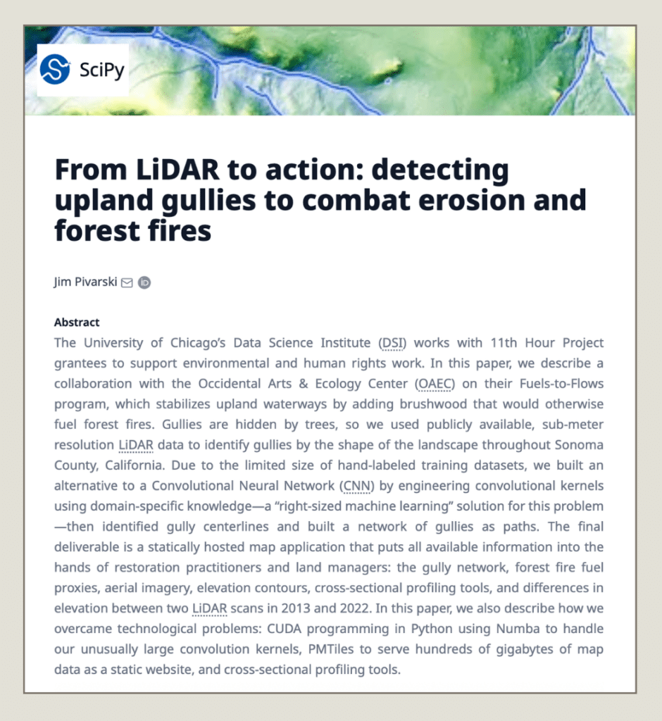
From LiDAR to action: detecting upland gullies to combat erosion and forest fires
Found Gully Model collaborator Jim Pivarski, Staff Data Engineer from the University of Chicago’s Data Science Institute (DSI), published a paper in SciPy Journal: “From LiDAR to action: detecting upland gullies to combat erosion and forest fires.” This paper describes Pivarski’s collaboration with OAEC, the development of a “right-sized machine learning” solution for identifying and building a network of gullies, and a statically hosted map application designed specifically for restoration practitioners and land managers.


